Soil water content (VWC) is fundamental for assessing environmental risks (landslides, wildfires, floods), but its spatial variability makes estimation difficult. Point sensors are local and difficult to install, satellites have limited resolution, and hydrological models require continuous validation. The CRNS (Cosmic Ray Neutron Sensing) method provides a non-invasive estimate of VWC over large volumes with good temporal resolution. In this study, we present a landslide-prone site monitored by sensors, models, and early warning systems, where a CRNS probe has been operational for two years. We compare the different approaches, highlighting the importance of field validation.
Poster Le Giornate dell’Idrologia 2025
Poster EGU 2025
Cosmic Rays Neutron Sensing (CRNS) enables the measurement of water content through the absorption of…
read the article 
Case Study – Apple orchard
Irrigation strategy in apple orchards Experience The Tres Land Improvement Consortium, in agreement with MACH…
read the article 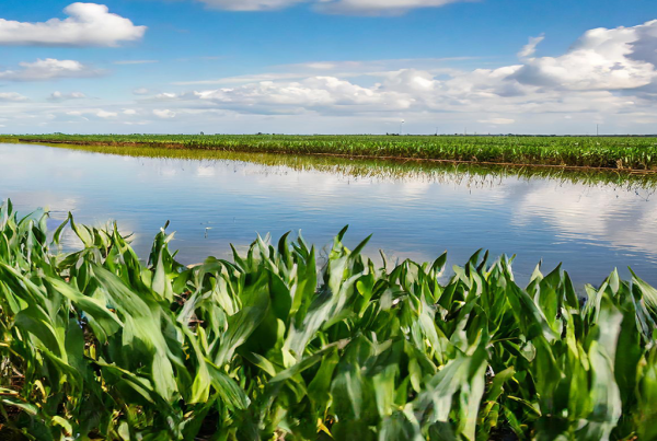
The water-soil relationship in agriculture
Solar energy mainly controls the water consumption of plants through the transpiration process. Water acts…
read the article 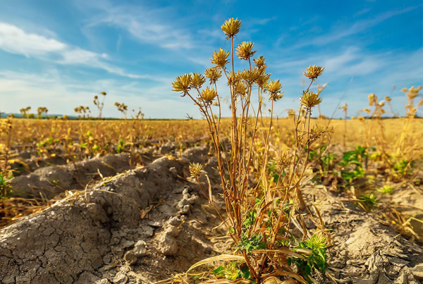
Water stress in crops
In this paper we aim to address a crucial issue for all farmers and producers:…
read the article